Additional Information
Book Details
Abstract
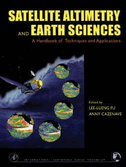
The new level of precision and global coverage provided by satellite altimetry is rapidly advancing studies of ocean circulation. It allows for new insights into marine geodesy, ice sheet movements, plate tectonics, and for the first time provides high-resolution bathymetry for previously unmapped regions of our watery planet and crucial information on the large-scale ocean features on intra-season to interannual time scales. Satellite Altimetry and Earth Sciences has integrated the expertise of the leading international researchers to demonstrate the techniques, missions, and accuracy of satellite altimetry, including altimeter measurements, orbit determination, and ocean circulation models.
Satellite altimetry is helping to advance studies of ocean circulation, tides, sea level, surface waves and allowing new insights into marine geodesy.
Satellite Altimetry and Earth Sciences provides high resolution bathymetry for previously unmapped regions of our watery planet.
Satellite Altimetry and Earth Sciences is for a very broad spectrum of academics, graduate students, and researchers in geophysics, oceanography, and the space and earth sciences. International agencies that fund satellite-based research will also appreciate the handy reference on the applications of satellite altimetry.
"This book will serve as an excellent handbook and reference for those interested in applying satellite altimetry to hydrospheric and geodetic sciences, and can also serve as a textbook for a graduate level course in satellite remote sensing or satellite oceanography. . . It is well written, logically organized and provides a wealth of reference material for the practicing researcher and student. The discussions are well supported with the appropriate level of mathematical rigor and contain numerous illuminating figures and graphics. . . we consider Chapter 1 of the book especially valuable. In this chapter, one finds detailed discussions of the main techniques and principles behind radar altimetry followed by an explanation of the steps and corrections required to turn these data into accurate estimates of sea level as well as wave heights and wind speed. We know of no other reference work like this chapter, which gives such detailed explanations of all aspects of satellite radar altimetry. The breadth and detail of Chapter 1 alone justify obtaining this book."
PURE AND APPLIED GEOPHYSICS
